File:Downtown Columbus Grove.jpg
Size of this preview: 800 × 600 pixels. Other resolutions: 320 × 240 pixels | 640 × 480 pixels | 1,024 × 768 pixels | 1,280 × 960 pixels | 2,560 × 1,920 pixels | 2,816 × 2,112 pixels.
Original file (2,816 × 2,112 pixels, file size: 2.5 MB, MIME type: image/jpeg)
This is a file from the Wikimedia Commons and may be used by other projects. Information from its description page there is shown below.
Commons is a freely licensed media file repository. |
| Camera location | | View this and other nearby images on: OpenStreetMap |
|---|
| Description |
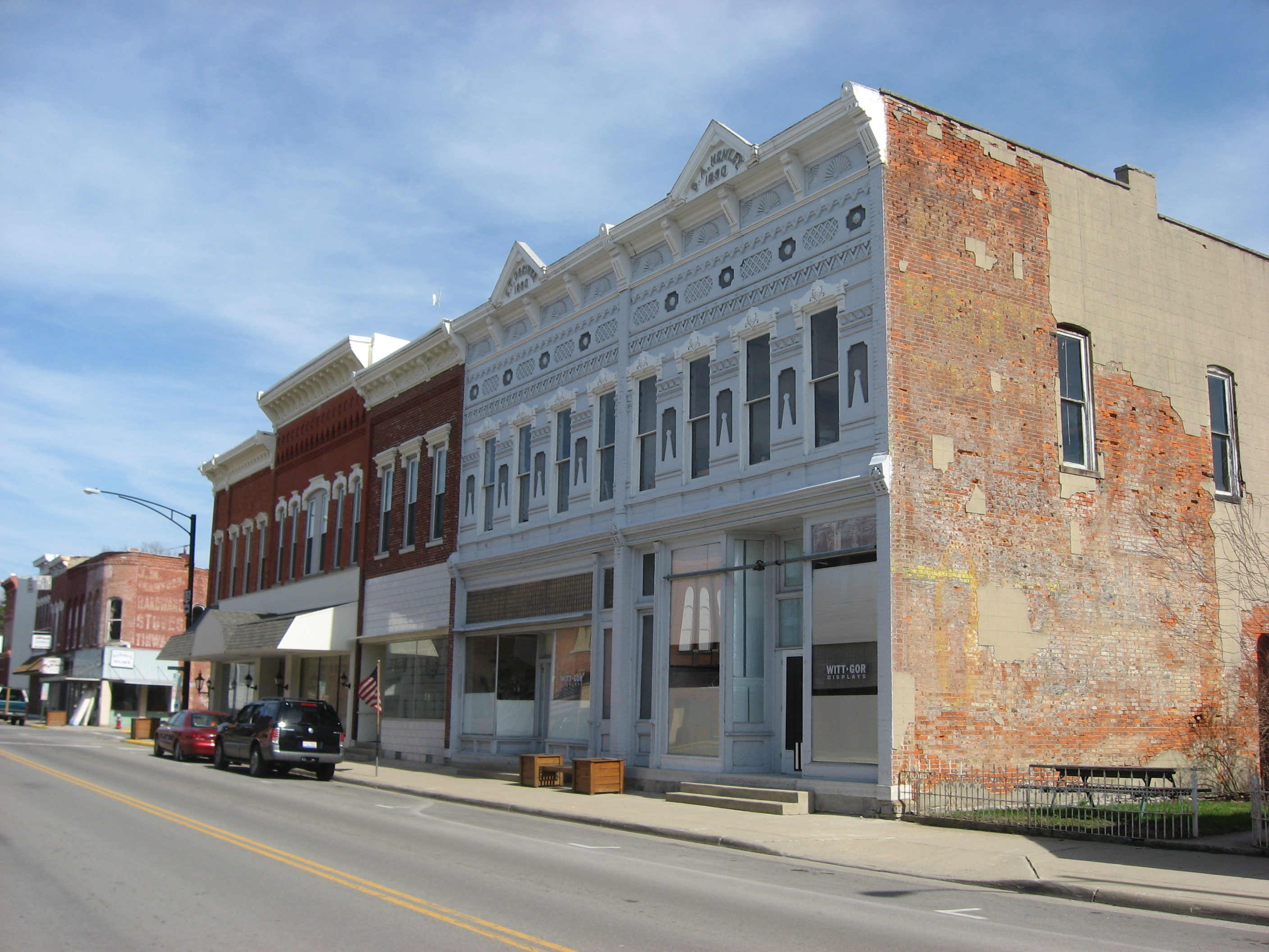
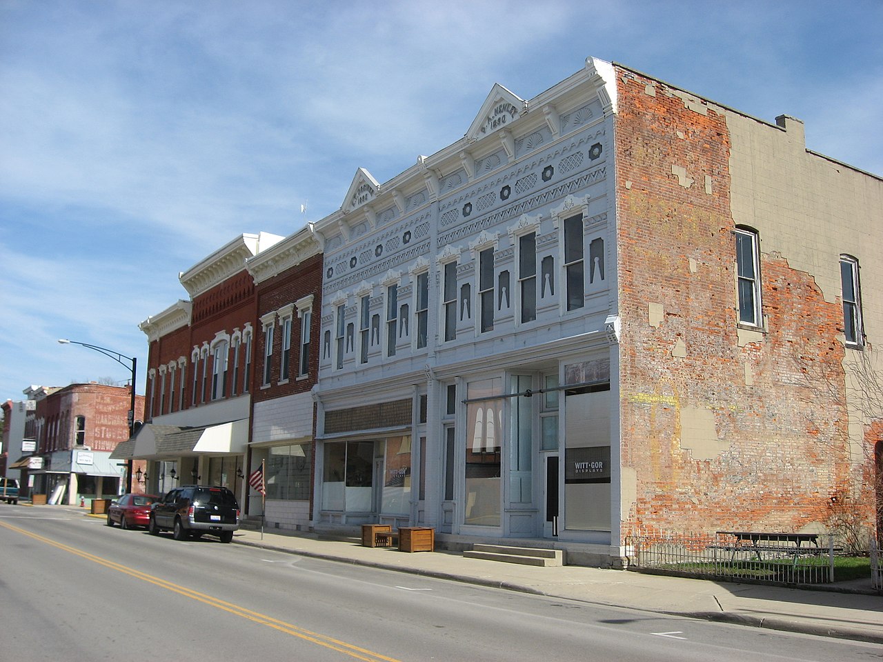
English: Buildings on the eastern side of the 100 block of S. High Street (State Route 12) in downtown Columbus Grove, Ohio, United States. |
||
| Date | Taken on 31 March 2010 | ||
| Source | Own work | ||
| Author | Nyttend | ||
| Permission (Reusing this file) |
|
File history
Click on a date/time to view the file as it appeared at that time.
| Date/Time | Thumbnail | Dimensions | User | Comment | |
|---|---|---|---|---|---|
| current | 02:36, 23 April 2010 | | 2,816 × 2,112 (2.5 MB) | Nyttend | {{Location|40|55|8.8|N|84|3|28.8|W}} {{Information |Description={{en|Buildings on the eastern side of the 100 block of S. High Street ({{w|Ohio State Route 12|State Route 12}}) in downtown {{w|Columbus Grove, Ohio|Columbus Grove}}, {{w|Ohio}}, {{w|United |
File usage
The following 2 pages use this file:
Global file usage
The following other wikis use this file:
- Usage on ar.wikipedia.org
- Usage on ca.wikipedia.org
- Usage on ceb.wikipedia.org
- Usage on cy.wikipedia.org
- Usage on es.wikipedia.org
- Usage on eu.wikipedia.org
- Usage on fr.wikipedia.org
- Usage on ht.wikipedia.org
- Usage on hu.wikipedia.org
- Usage on it.wikipedia.org
- Usage on lld.wikipedia.org
- Usage on pl.wikipedia.org
- Usage on pt.wikipedia.org
- Usage on sh.wikipedia.org
- Usage on sr.wikipedia.org
- Usage on uk.wikipedia.org
- Usage on vi.wikipedia.org
- Usage on www.wikidata.org
- Usage on zh-min-nan.wikipedia.org