File:Golden Gate Bridge and Fort Point 2009b.jpg
Size of this preview: 800 × 600 pixels. Other resolutions: 320 × 240 pixels | 640 × 480 pixels | 1,024 × 768 pixels | 1,280 × 960 pixels | 2,560 × 1,920 pixels | 2,816 × 2,112 pixels.
Original file (2,816 × 2,112 pixels, file size: 2.4 MB, MIME type: image/jpeg)
This is a file from the Wikimedia Commons and may be used by other projects. Information from its description page there is shown below.
Commons is a freely licensed media file repository. |
Summary
| Description |
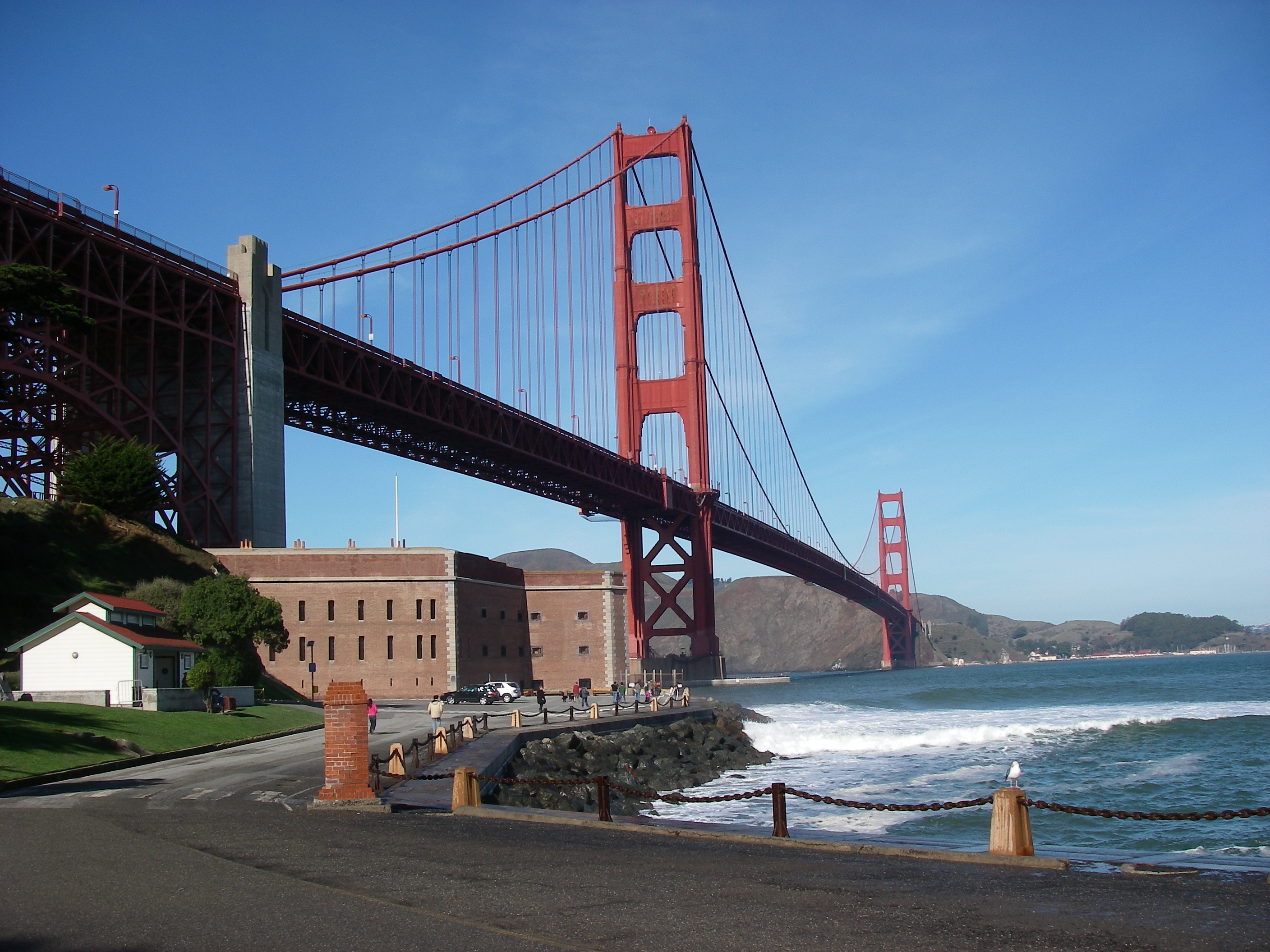
English: Fort Point nestled beneath the Golden Gate Bridge. |
| Date | Taken on 17 December 2009 |
| Source | Own work |
| Author | Leaflet |
| Other versions |
  |
| Camera location | | View this and other nearby images on: OpenStreetMap |
|---|
Licensing
| I, the copyright holder of this work, release this work into the public domain. This applies worldwide. In some countries this may not be legally possible; if so: I grant anyone the right to use this work for any purpose, without any conditions, unless such conditions are required by law. |
File history
Click on a date/time to view the file as it appeared at that time.
| Date/Time | Thumbnail | Dimensions | User | Comment | |
|---|---|---|---|---|---|
| current | 15:37, 29 January 2010 | | 2,816 × 2,112 (2.4 MB) | Leaflet | {{Information |Description={{en|1=Fort Point nestled beneath the Golden Gate Bridge.}} |Source={{own}} |Author=Leaflet |Date=2009-12-17 |Permission= |other_versions=http://www.panoramio.com/photo/30815153 }} {{Location dec|37.809380|-122. |
File usage
The following page uses this file:
Global file usage
The following other wikis use this file:
- Usage on de.wikipedia.org
- Usage on en.wikipedia.org
- Usage on nl.wikipedia.org