File:JLM1Torpo.JPG
Size of this preview: 398 × 599 pixels. Other resolutions: 159 × 240 pixels | 319 × 480 pixels | 510 × 768 pixels | 681 × 1,024 pixels | 2,000 × 3,008 pixels.
Original file (2,000 × 3,008 pixels, file size: 1.46 MB, MIME type: image/jpeg)
This is a file from the Wikimedia Commons and may be used by other projects. Information from its description page there is shown below.
Commons is a freely licensed media file repository. |
Summary
| Description |
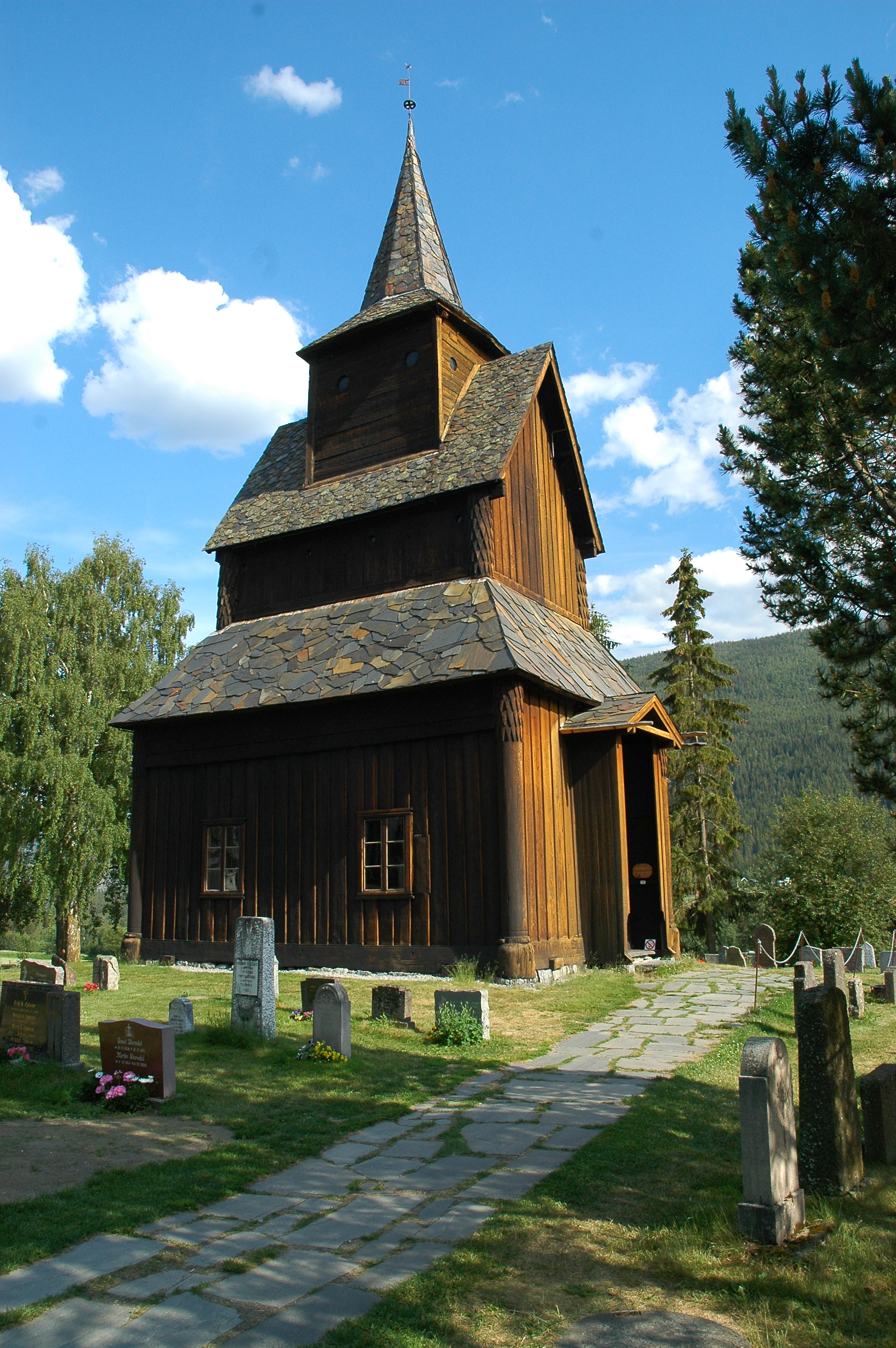
Français : Stavkirke de Torpo |
| Source | Own work |
| Author | Jean-Louis MALPERTU |
| Camera location | | View this and other nearby images on: OpenStreetMap |
|---|
Licensing
| I, the copyright holder of this work, release this work into the public domain. This applies worldwide. In some countries this may not be legally possible; if so: I grant anyone the right to use this work for any purpose, without any conditions, unless such conditions are required by law. |
File history
Click on a date/time to view the file as it appeared at that time.
| Date/Time | Thumbnail | Dimensions | User | Comment | |
|---|---|---|---|---|---|
| current | 09:29, 12 November 2006 | | 2,000 × 3,008 (1.46 MB) | Mcb510 | {{Information |Description=Stavkirke de Torpo |Source=Photo personnelle |Date= |Author=Jean-Louis MALPERTU |Permission= |other_versions= }} |
File usage
The following page uses this file:
Global file usage
The following other wikis use this file:
- Usage on de.wikivoyage.org
- Usage on en.wikipedia.org
- Usage on fr.wikipedia.org
- Usage on nn.wikipedia.org
- Usage on sv.wikipedia.org