File:Kazimierz Dolny, Korzeniowy Dół - fotopolska.eu (253898).jpg

Size of this preview: 800 × 600 pixels. Other resolutions: 320 × 240 pixels | 640 × 480 pixels | 1,024 × 768 pixels | 1,200 × 900 pixels.
Original file (1,200 × 900 pixels, file size: 323 KB, MIME type: image/jpeg)
This is a file from the Wikimedia Commons and may be used by other projects. Information from its description page there is shown below.
Commons is a freely licensed media file repository. |
Summary
| Description |
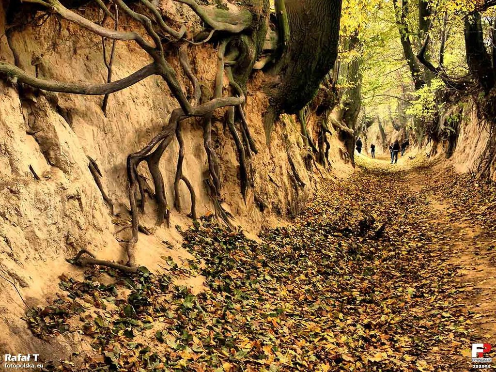
Polski: Lessowy wąwóz "Korzeniowy Dół". |
||
| Address |
|
||
| Date | |||
| Source | Fotopolska.eu | ||
| Author | Rafał T |
| Object location | | View this and other nearby images on: OpenStreetMap |
|---|

.jpg)
.jpg¶ms=051.322687_N_0021.978546_E_globe:Earth_class:object_type:object__&language=en)
.jpg&wpForReUpload=1&wpUploadDescription=%5B%5BCommons%3AWatermarks%23Dealing%20with%20watermarked%20images%7Cwatermark%20removed%5D%5D)
.jpg&action=edit&withJS=MediaWiki:RemoveWatermarktemplate.js)
Licensing
This file is licensed under the Creative Commons Attribution-Share Alike 3.0 Unported license.
Attribution: Rafał T / fotopolska.eu
- You are free:
- to share – to copy, distribute and transmit the work
- to remix – to adapt the work
- Under the following conditions:
- attribution – You must give appropriate credit, provide a link to the license, and indicate if changes were made. You may do so in any reasonable manner, but not in any way that suggests the licensor endorses you or your use.
- share alike – If you remix, transform, or build upon the material, you must distribute your contributions under the same or compatible license as the original.
| This image, which was originally posted to Fotopolska.eu, was reviewed on 24 October 2012 by the administrator or trusted user Yarl, who confirmed that it was available on Fotopolska under the above license on that date. |
File history
Click on a date/time to view the file as it appeared at that time.
| Date/Time | Thumbnail | Dimensions | User | Comment | |
|---|---|---|---|---|---|
| current | 17:37, 24 October 2012 | | 1,200 × 900 (323 KB) | YarluFileBot | import from fotopolska.eu |
File usage
The following page uses this file:
Global file usage
The following other wikis use this file:
- Usage on de.wikivoyage.org
.jpg)