File:Kimberleys, Western Australia map, labelled.svg

Size of this PNG preview of this SVG file: 772 × 600 pixels. Other resolutions: 309 × 240 pixels | 618 × 480 pixels | 989 × 768 pixels | 1,280 × 994 pixels | 2,560 × 1,988 pixels | 1,030 × 800 pixels.
Original file (SVG file, nominally 1,030 × 800 pixels, file size: 977 KB)
This is a file from the Wikimedia Commons and may be used by other projects. Information from its description page there is shown below.
Commons is a freely licensed media file repository. |
Summary
| Description |
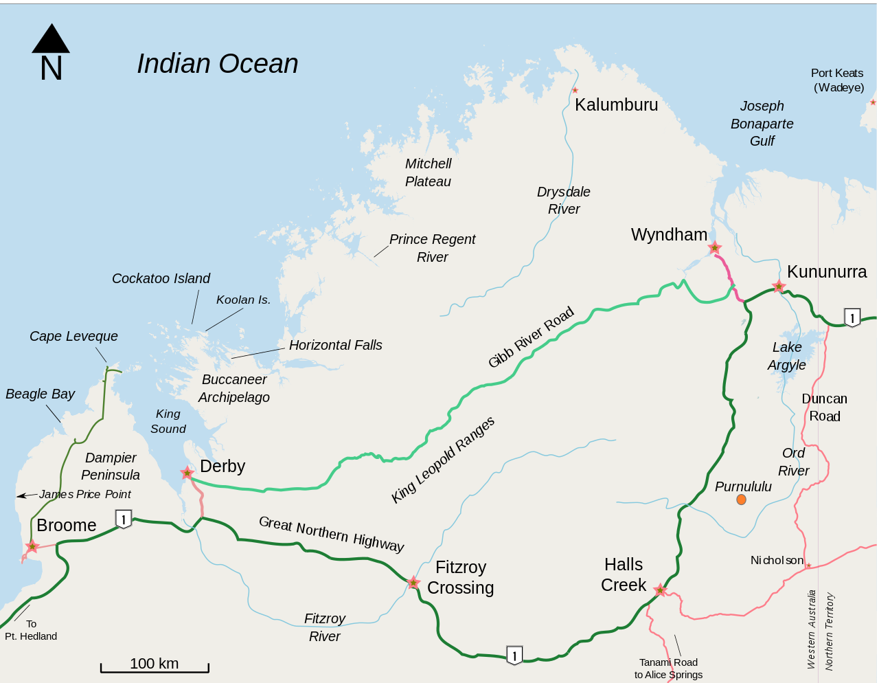
English: Blank map of the Kimberley region of Western Australia |
| Date | |
| Source | Own work by uploader, from openstreetmap. Labelled and additional features added by hand |
| Author | Djanga |
| Other versions | File:Kimberleys, Western Australia - bare map.svg |
| Description |
This map was created from OpenStreetMap project data, collected by the community. This map may be incomplete, and may contain errors. Don't rely solely on it for navigation. |
| Date | (see file history) |
| Source | openstreetmap.org |
| Creator |
OpenStreetMap contributors |
| Permission (Reusing this file) |
OpenStreetMap data and maps are licensed under the Creative Commons Attribution-ShareAlike 2.0 license (CC-BY-SA 2.0). This file is licensed under the Creative Commons Attribution-Share Alike 2.0 Generic license.
|
| Georeferencing | If inappropriate please set warp_status = skip to hide. |
Licensing
I, the copyright holder of this work, hereby publish it under the following license:
This file is licensed under the Creative Commons Attribution-Share Alike 3.0 Unported license.
- You are free:
- to share – to copy, distribute and transmit the work
- to remix – to adapt the work
- Under the following conditions:
- attribution – You must give appropriate credit, provide a link to the license, and indicate if changes were made. You may do so in any reasonable manner, but not in any way that suggests the licensor endorses you or your use.
- share alike – If you remix, transform, or build upon the material, you must distribute your contributions under the same or compatible license as the original.
File history
Click on a date/time to view the file as it appeared at that time.
| Date/Time | Thumbnail | Dimensions | User | Comment | |
|---|---|---|---|---|---|
| current | 10:17, 29 November 2010 | | 1,030 × 800 (977 KB) | Moondyne | added James Price Point |
| 12:55, 22 February 2009 |  | 1,030 × 800 (1,024 KB) | Djanga | testing a clickable link at Kalumburu | |
| 06:28, 22 February 2009 |  | 1,030 × 800 (1,024 KB) | Djanga | Typography | |
| 03:17, 22 February 2009 |  | 1,030 × 800 (1,017 KB) | Djanga | Ord R., Nicholson, Duncan Rd | |
| 06:07, 20 February 2009 |  | 1,030 × 800 (1,011 KB) | Djanga | 2 x rivers | |
| 02:16, 20 February 2009 |  | 1,030 × 800 (1,006 KB) | Djanga | King Sound, H Falls | |
| 08:14, 19 February 2009 |  | 1,030 × 800 (1,005 KB) | Djanga | H1 shield | |
| 07:54, 19 February 2009 |  | 1,030 × 800 (997 KB) | Djanga | Shrapnel removed | |
| 07:24, 19 February 2009 |  | 1,030 × 800 (1,024 KB) | Djanga | More labels | |
| 06:55, 19 February 2009 |  | 1,030 × 800 (1,019 KB) | Djanga | Arial fonts |
File usage
The following page uses this file:
Global file usage
The following other wikis use this file:
- Usage on ckb.wikipedia.org
- Usage on de.wikipedia.org
- Usage on en.wikipedia.org
- Usage on es.wikipedia.org
- Usage on fa.wikipedia.org
- Usage on fr.wikipedia.org
- Usage on hu.wikipedia.org
- Usage on it.wikipedia.org
- Usage on ja.wikipedia.org
- Usage on nl.wikipedia.org
- Usage on ru.wikipedia.org