File:Mexican Canyon Trestle Cloudcroft New Mexico.jpg
Size of this preview: 800 × 600 pixels. Other resolutions: 320 × 240 pixels | 640 × 480 pixels | 1,024 × 768 pixels | 1,280 × 960 pixels | 2,560 × 1,920 pixels | 3,264 × 2,448 pixels.
Original file (3,264 × 2,448 pixels, file size: 2.91 MB, MIME type: image/jpeg)
This is a file from the Wikimedia Commons and may be used by other projects. Information from its description page there is shown below.
Commons is a freely licensed media file repository. |
|
This is an image of a place or building that is listed on the National Register of Historic Places in the United States of America. Its reference number is 79001543. |
Summary
| Description |
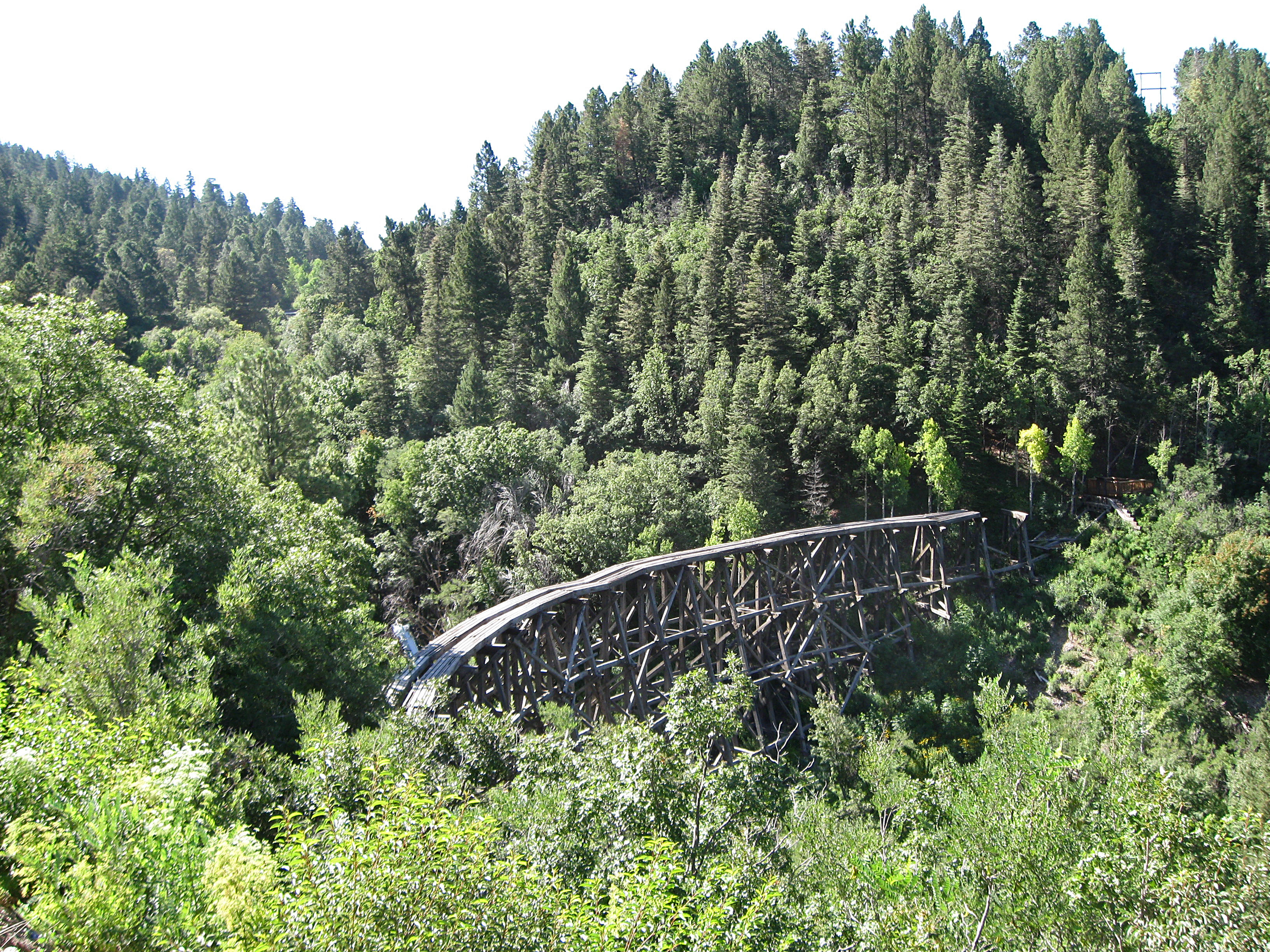
English: Mexican Canyon Trestle, located just northwest of Cloudcroft, New Mexico; photographed from an overlook on US Highway 82.
|
| Date | |
| Source | Own work |
| Author | AllenS |
| Other versions |
| Object location | | View this and other nearby images on: OpenStreetMap |
|---|
Licensing
| I, the copyright holder of this work, release this work into the public domain. This applies worldwide. In some countries this may not be legally possible; if so: I grant anyone the right to use this work for any purpose, without any conditions, unless such conditions are required by law. |
File history
Click on a date/time to view the file as it appeared at that time.
| Date/Time | Thumbnail | Dimensions | User | Comment | |
|---|---|---|---|---|---|
| current | 20:46, 30 July 2009 | | 3,264 × 2,448 (2.91 MB) | AllenS | {{Information |Description={{en|1=Mexican Canyon Trestle, located just northwest of Cloudcroft, New Mexico; photographed from an overlook on US Highway 82. The trestle was constructed in 1899 as part of the Alamogordo and Sacramento Mountain Railroad. On |
File usage
There are no pages that use this file.
Global file usage
The following other wikis use this file:
- Usage on en.wikipedia.org
- Usage on www.wikidata.org