File:Ornäsloft 1.JPG
Size of this preview: 800 × 400 pixels. Other resolutions: 320 × 160 pixels | 640 × 320 pixels | 1,024 × 512 pixels | 1,623 × 811 pixels.
Original file (1,623 × 811 pixels, file size: 336 KB, MIME type: image/jpeg)
This is a file from the Wikimedia Commons and may be used by other projects. Information from its description page there is shown below.
Commons is a freely licensed media file repository. |
Summary
|
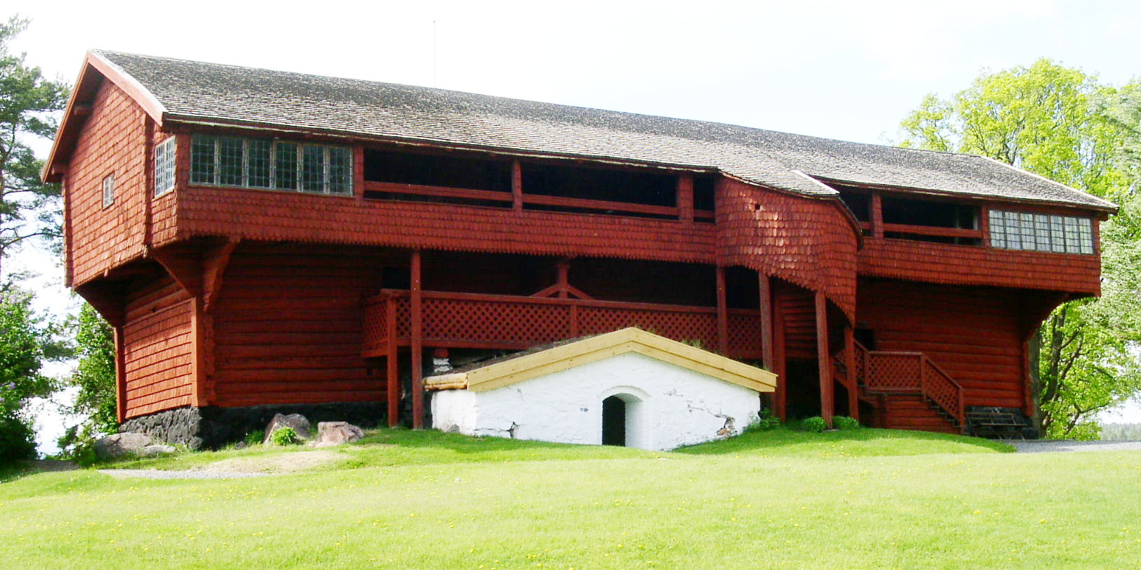
This is a photo of a historic building in Sweden, number 21300000014366 in the RAÄ buildings database.
|
| Description |
English: [sv:Ornässtugan]
Svenska: Ornässtugan från öster. |
| Date | |
| Source | Own work |
| Author | Taxelson |
| Camera location | | View this and other nearby images on: OpenStreetMap |
|---|
Licensing
| I, the copyright holder of this work, release this work into the public domain. This applies worldwide. In some countries this may not be legally possible; if so: I grant anyone the right to use this work for any purpose, without any conditions, unless such conditions are required by law. |
File history
Click on a date/time to view the file as it appeared at that time.
| Date/Time | Thumbnail | Dimensions | User | Comment | |
|---|---|---|---|---|---|
| current | 16:48, 27 May 2009 | | 1,623 × 811 (336 KB) | Taxelson | {{Information |Description={{en|1=[sv:Ornässtugan]}} {{sv|1=Ornässtugan från öster. sv:Ornässtugan}} |Source=Uppladdarens egna verk (uploader's own work) |Author=Taxelson |Date=2009-05-27 |Permission= |other_versions= }} {{loca |
File usage
The following 2 pages use this file:
Global file usage
The following other wikis use this file:
- Usage on ceb.wikipedia.org
- Usage on en.wikipedia.org
- Usage on fr.wikipedia.org
- Usage on it.wikipedia.org
- Usage on lld.wikipedia.org
- Usage on nn.wikipedia.org
- Usage on no.wikipedia.org
- Usage on pl.wikipedia.org
- Usage on sv.wikipedia.org
- Usage on www.wikidata.org