File:Peaceriver.jpg

Size of this preview: 800 × 474 pixels. Other resolutions: 320 × 190 pixels | 640 × 379 pixels | 1,024 × 607 pixels | 1,280 × 759 pixels | 2,816 × 1,669 pixels.
Original file (2,816 × 1,669 pixels, file size: 1.06 MB, MIME type: image/jpeg)
This is a file from the Wikimedia Commons and may be used by other projects. Information from its description page there is shown below.
Commons is a freely licensed media file repository. |
Summary
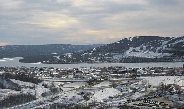
| Description | Photo of Peace River, AB |
| Date | |
| Source | Justin Kopp |
| Author | Justin Kopp |
| Camera location | | View this and other nearby images on: OpenStreetMap |
|---|
Licensing
| I, the copyright holder of this work, release this work into the public domain. This applies worldwide. In some countries this may not be legally possible; if so: I grant anyone the right to use this work for any purpose, without any conditions, unless such conditions are required by law. |
File history
Click on a date/time to view the file as it appeared at that time.
| Date/Time | Thumbnail | Dimensions | User | Comment | |
|---|---|---|---|---|---|
| current | 18:36, 28 January 2007 | | 2,816 × 1,669 (1.06 MB) | Koppertone | {{Information |Description=Photo of Peace River, AB |Source=Justin Kopp |Date=January 27, 2007 |Author=Justin Kopp |Permission=Yes |other_versions= }} |
File usage
The following page uses this file:
Global file usage
The following other wikis use this file:
- Usage on cs.wikipedia.org
- Usage on en.wikipedia.org
- Usage on fr.wikipedia.org
- Usage on lt.wikipedia.org
- Usage on pl.wikipedia.org
- Usage on pt.wikipedia.org
- Usage on ru.wikipedia.org
- Usage on sr.wikipedia.org
- Usage on uk.wikipedia.org