File:Phra Prang Sam Yod (I).jpg

Size of this preview: 800 × 533 pixels. Other resolutions: 320 × 213 pixels | 640 × 427 pixels | 1,024 × 683 pixels | 1,280 × 853 pixels | 2,560 × 1,707 pixels | 5,022 × 3,348 pixels.
Original file (5,022 × 3,348 pixels, file size: 10.17 MB, MIME type: image/jpeg)
This is a file from the Wikimedia Commons and may be used by other projects. Information from its description page there is shown below.
Commons is a freely licensed media file repository. |
Summary
| Description |
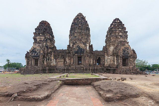
English: Phra Prang Sam Yot ("three-pronged holy tower") in Lopburi, Mueang Lop Buri District, Lop Buri Province, Thailand. |
||||
| Date | |||||
| Source | Own work | ||||
| Author |
|
||||
| Other versions |
|

.jpg)
.jpg)
| Camera location | | View this and other nearby images on: OpenStreetMap |
|---|
.jpg¶ms=014.802964_N_0100.613757_E_globe:Earth_type:camera__&language=en)

|
This image was uploaded as part of Wiki Loves Monuments 2018.
|
 |
Licensing
I, the copyright holder of this work, hereby publish it under the following license:
This file is licensed under the Creative Commons Attribution 4.0 International license.
- You are free:
- to share – to copy, distribute and transmit the work
- to remix – to adapt the work
- Under the following conditions:
- attribution – You must give appropriate credit, provide a link to the license, and indicate if changes were made. You may do so in any reasonable manner, but not in any way that suggests the licensor endorses you or your use.
This image has been assessed using the Quality image guidelines and is considered a Quality image.
|
File history
Click on a date/time to view the file as it appeared at that time.
| Date/Time | Thumbnail | Dimensions | User | Comment | |
|---|---|---|---|---|---|
| current | 09:56, 11 May 2020 | | 5,022 × 3,348 (10.17 MB) | Supanut Arunoprayote | Horizontally rotated |
| 06:22, 10 August 2018 |  | 5,102 × 3,401 (10.27 MB) | Supanut Arunoprayote | Dust deleted | |
| 06:16, 10 August 2018 |  | 5,102 × 3,401 (10.23 MB) | Supanut Arunoprayote | User created page with UploadWizard |
File usage
The following 2 pages use this file:
Global file usage
The following other wikis use this file:
- Usage on de.wikipedia.org
- Usage on fr.wikipedia.org
- Usage on it.wikivoyage.org
- Usage on ja.wikipedia.org
- Usage on th.wikipedia.org
.jpg)