File:Rainhambuilding.jpg
No higher resolution available.
Rainhambuilding.jpg (597 × 396 pixels, file size: 63 KB, MIME type: image/jpeg)
This is a file from the Wikimedia Commons and may be used by other projects. Information from its description page there is shown below.
Commons is a freely licensed media file repository. |
| Description |
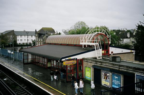
Rainham (Kent) railway station building, from the footbridge.
|
||||
| Date | |||||
| Source | https://www.chiark.greenend.org.uk/~owend/interests/rail/stnpages/rainhambuilding.jpg | ||||
| Author | Alexandra Lanes | ||||
| Permission (Reusing this file) |
All photographs are © Alexandra Lanes. You may reproduce them anywhere for any purpose. [1] |

|
The copyright holder of this work allows anyone to use it for any purpose including unrestricted redistribution, commercial use, and modification.
Usage notes:
|
File history
Click on a date/time to view the file as it appeared at that time.
| Date/Time | Thumbnail | Dimensions | User | Comment | |
|---|---|---|---|---|---|
| current | 18:23, 12 May 2005 | | 597 × 396 (63 KB) | Bjh21 | {{Information| |Description = Rainham (Kent) railway station building, from the footbridge. |Source = http://www.chiark.greenend.org.uk/~owend/interests/rail/stnpages/rainhambuilding.jpg |Date = 2004-10-23 |Author = Owen Dunn |Permission = All photographs |
File usage
The following page uses this file:
Global file usage
The following other wikis use this file:
- Usage on ar.wikipedia.org
- Usage on en.wikipedia.org
- Usage on nl.wikipedia.org
- Usage on www.wikidata.org
- Usage on yi.wikipedia.org