File:Saipan-Tinian.jpg
No higher resolution available.
Saipan-Tinian.jpg (378 × 428 pixels, file size: 37 KB, MIME type: image/jpeg)
This is a file from the Wikimedia Commons and may be used by other projects. Information from its description page there is shown below.
Commons is a freely licensed media file repository. |
Summary
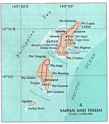
| Description |
English: Saipan-Tinian |
| Date | |
| Source | http://www.lib.utexas.edu/maps/australia/saipan_tinian_islands.jpg, from U.S. National Atlas 1970 |
| Author | US Geological Survey |
Licensing
This image is in the public domain in the United States because it only contains materials that originally came from the United States Geological Survey, an agency of the United States Department of the Interior. For more information, see the official USGS copyright policy.
|
File history
Click on a date/time to view the file as it appeared at that time.
| Date/Time | Thumbnail | Dimensions | User | Comment | |
|---|---|---|---|---|---|
| current | 19:25, 5 August 2005 | | 378 × 428 (37 KB) | Bradipus | Maps from http://www.lib.utexas.edu/maps/ Public Domain (see http://navalhistory.flixco.info/H/118421x19817/8330/a0.htm) |
File usage
The following page uses this file:
Global file usage
The following other wikis use this file:
- Usage on ar.wikipedia.org
- Usage on ast.wikipedia.org
- Usage on ceb.wikipedia.org
- Usage on es.wikipedia.org
- Usage on eu.wikipedia.org
- Usage on fr.wikipedia.org
- Usage on gl.wikipedia.org
- Usage on hu.wikipedia.org
- Usage on io.wikipedia.org
- Usage on it.wikipedia.org
- Usage on nl.wikipedia.org
- Usage on no.wikipedia.org
- Usage on pt.wikipedia.org
- Usage on sc.wikipedia.org
- Usage on sv.wikipedia.org
- Usage on ur.wikipedia.org
- Usage on www.wikidata.org