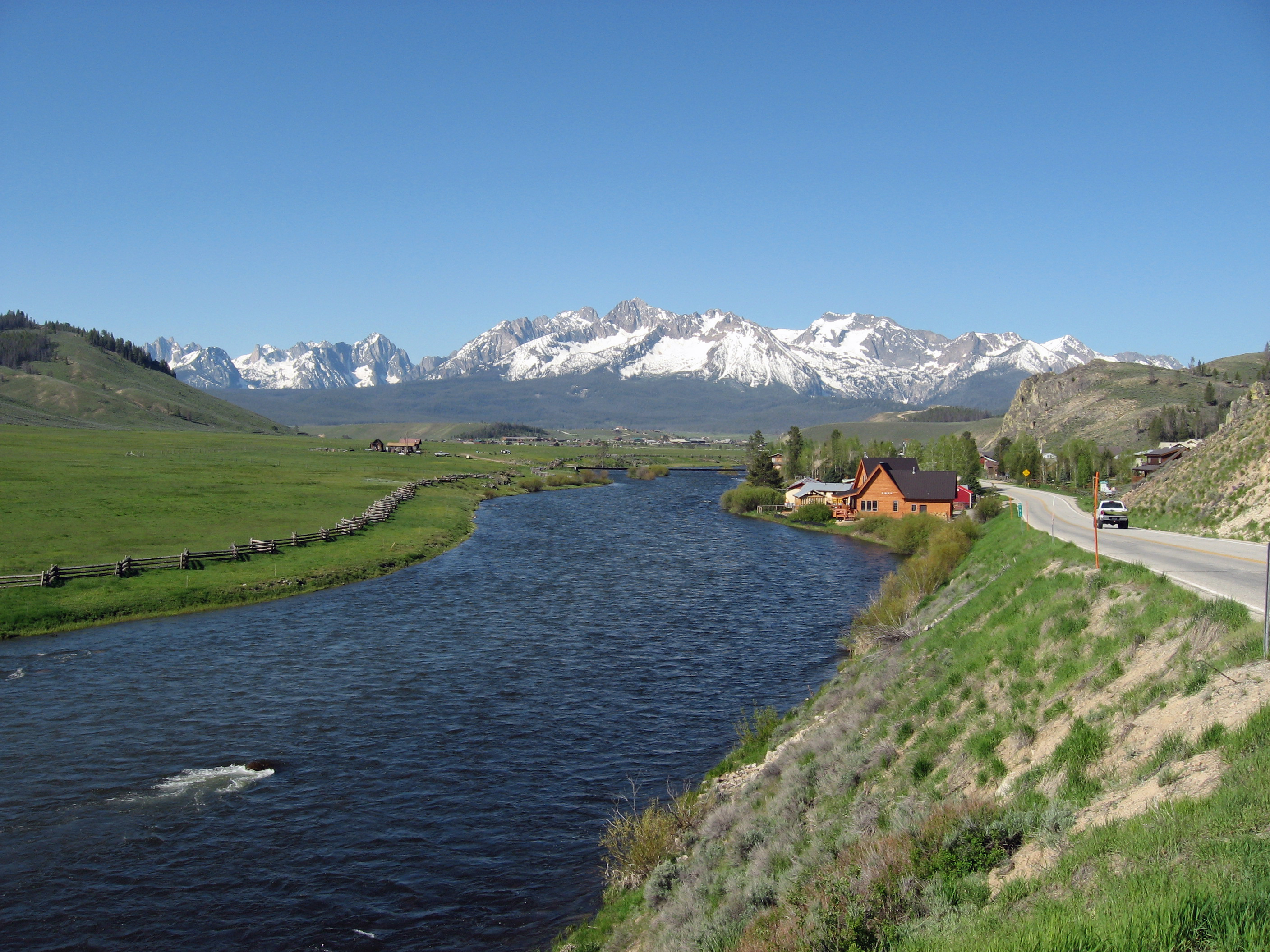
File:Sawtooth Mountains and Salmon River.JPG
Size of this preview: 800 × 600 pixels. Other resolutions: 320 × 240 pixels | 640 × 480 pixels | 1,024 × 768 pixels | 1,280 × 960 pixels | 2,560 × 1,920 pixels | 2,816 × 2,112 pixels.
Original file (2,816 × 2,112 pixels, file size: 3.34 MB, MIME type: image/jpeg)
This is a file from the Wikimedia Commons and may be used by other projects. Information from its description page there is shown below.
Commons is a freely licensed media file repository. |
Summary
| Description | |
| Date | |
| Source | Own work |
| Author | Fredlyfish4 |
| Camera location | | View this and other nearby images on: OpenStreetMap |
|---|
Licensing
I, the copyright holder of this work, hereby publish it under the following license:
This file is licensed under the Creative Commons Attribution-Share Alike 4.0 International license.
- You are free:
- to share – to copy, distribute and transmit the work
- to remix – to adapt the work
- Under the following conditions:
- attribution – You must give appropriate credit, provide a link to the license, and indicate if changes were made. You may do so in any reasonable manner, but not in any way that suggests the licensor endorses you or your use.
- share alike – If you remix, transform, or build upon the material, you must distribute your contributions under the same or compatible license as the original.
| File created by Fredlyfish4 | |
| Permission is granted for use under CC BY-SA 4.0 (or a similar license) for this file created by the author.
Please let the author know if you use this work outside of Wikimedia projects by sending an email to
|
Original upload log
The original description page was here. All following user names refer to en.wikipedia.
- 2008-10-26 19:04 Fredlyfish4 2816×2112× (1782009 bytes)
This image has been assessed using the Quality image guidelines and is considered a Quality image.
|
File history
Click on a date/time to view the file as it appeared at that time.
| Date/Time | Thumbnail | Dimensions | User | Comment | |
|---|---|---|---|---|---|
| current | 01:28, 14 June 2012 | | 2,816 × 2,112 (3.34 MB) | Fredlyfish4 | auto smart fix |
| 19:40, 10 February 2009 |  | 2,816 × 2,112 (1.7 MB) | Urdangaray | {{Information |Description={{en|''no original description''}} |Source=Transferred from [http://en.wikipedia.org en.wikipedia] |Date=2008-10-26 (original upload date) |Author=Original uploader was Fredlyfish4 at [http://en.wikipedi |
File usage
The following 2 pages use this file:
Global file usage
The following other wikis use this file:
- Usage on en.wikipedia.org
- Usage on es.wikipedia.org
- Usage on fi.wikipedia.org
- Usage on fr.wikipedia.org
- Wikipédia:Sélection/Cinéma
- Wikipédia:Sélection/Animation
- Rivière Salmon (Idaho)
- Alpha et Oméga (film, 2010)
- Wikipédia:Sélection/Cinéma américain
- Wikipédia:Lumière sur/Août 2012
- Wikipédia:Lumière sur/Alpha et Oméga (film, 2010)
- Portail:Asie/Lumière sur…/Bons articles
- Wikipédia:Sélection/États-Unis/Bons articles/Partie I
- Wikipédia:Sélection/Culture américaine
- Usage on he.wikipedia.org