File:Syria districts.png

Size of this preview: 800 × 564 pixels. Other resolutions: 320 × 226 pixels | 640 × 451 pixels | 1,024 × 722 pixels | 1,228 × 866 pixels.
Original file (1,228 × 866 pixels, file size: 25 KB, MIME type: image/png)
This is a file from the Wikimedia Commons and may be used by other projects. Information from its description page there is shown below.
Commons is a freely licensed media file repository. |
Summary
| Description |
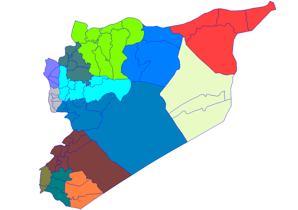
English: Historic map of the districts of Syria. It does not show districts that have been created since 2007, eg, Atarib, Dayr Hafir and Qudsaya. |
||
| Date | |||
| Source | Created by Rarelibra 15:51, 8 May 2007 (UTC) for public domain use, using MapInfo Professional v8.5 and various mapping resources. | ||
| Author | Rarelibra | ||
| Permission (Reusing this file) |
|
File history
Click on a date/time to view the file as it appeared at that time.
| Date/Time | Thumbnail | Dimensions | User | Comment | |
|---|---|---|---|---|---|
| current | 19:28, 8 May 2007 | | 1,228 × 866 (25 KB) | Anas Salloum | modified with permission of original author |
| 15:51, 8 May 2007 |  | 1,281 × 878 (21 KB) | Rarelibra | Map of the districts of Syria. Created by ~~~~ for public domain use, using MapInfo Professional v8.5 and various mapping resources. |
File usage
There are no pages that use this file.
Global file usage
The following other wikis use this file:
- Usage on ar.wikipedia.org
- Usage on azb.wikipedia.org
- Usage on az.wikipedia.org
- Usage on bn.wikipedia.org
- Usage on ckb.wikipedia.org
- ویکیپرۆژە:کۆمەڵە وتارەکان/شارەکانی سووریا/ڕەگ
- حەلەب
- لازقیە
- حەما
- دێرەزوور
- ڕەققە
- ئیدلیب
- ئەلباب
- دوما
- جەرمانا
- سەلەمیە
- دەرعا
- حەجەر ئەسوەد
- مەعەڕەت نوعمان
- تەرتووس
- دارەیا
- ئەلتەورە
- جەبلە
- سووەیدا
- نەوا، سووریا
- ئەلتەل
- ئەلڕەستەن
- ئەریحا
- ئەلنەبک
- مەیادین
- یەبرود
- قوسەیر
- حەرەستا
- جسر شوغور
- بانیاس
- جەیرود
- قەریەتەین
- مەعڕەت مسرین
- مەسیاف
View more global usage of this file.