File:USACE Richard B Russell Dam and Lake.jpg
Size of this preview: 800 × 534 pixels. Other resolutions: 320 × 214 pixels | 640 × 427 pixels | 1,024 × 683 pixels | 1,500 × 1,001 pixels.
Original file (1,500 × 1,001 pixels, file size: 522 KB, MIME type: image/jpeg)
This is a file from the Wikimedia Commons and may be used by other projects. Information from its description page there is shown below.
Commons is a freely licensed media file repository. |
| Description |
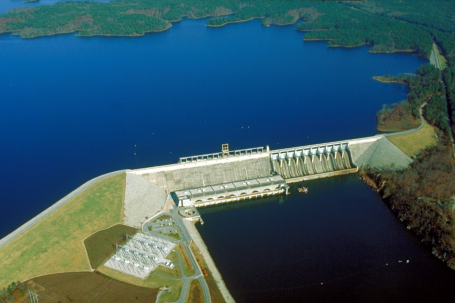
English: Richard B. Russell Dam and Lake on the Savannah River, spanning the border between Elbert County, Georgia and Abbeville County, South Carolina. The dam was constructed by the U.S. Army Corps of Engineers for flood control on the Savannah River.
Coordinates: 34°1′32.28″N 82°35′49.73″W / 34.0256333°N 82.5971472°W |
|||
| Location | Elbert County, Georgia and Abbeville County, South Carolina, USA | |||
| Date | (Caveat: Dates provided by U.S. Army Corps of Engineers web pages are not reliable and are often wrong.) | |||
| Source |
U.S. Army Corps of Engineers Digital Visual Library Image page Image description page Digital Visual Library home page |
|||
| Author | Jonas N. Jordan, U.S. Army Corps of Engineers | |||
| Permission (Reusing this file) |
|
File history
Click on a date/time to view the file as it appeared at that time.
| Date/Time | Thumbnail | Dimensions | User | Comment | |
|---|---|---|---|---|---|
| current | 00:38, 26 April 2007 | | 1,500 × 1,001 (522 KB) | DanMS | {{Information | Description = {{en|Richard B. Russell Dam and Lake on the Savannah River, spanning the border between Elbert County, Georgia and Abbeville County, South Carolina. The dam was constructed by the U.S. Army Corps of Engineers for flood con |
File usage
The following page uses this file:
Global file usage
The following other wikis use this file:
- Usage on be.wikipedia.org
- Usage on bg.wikipedia.org
- Usage on ceb.wikipedia.org
- Usage on de.wikipedia.org
- Usage on en.wikipedia.org
- Usage on fa.wikipedia.org
- Usage on fr.wikipedia.org
- Usage on nl.wikipedia.org
- Usage on no.wikipedia.org
- Usage on ro.wikipedia.org
- Usage on ru.wikipedia.org
- Usage on uk.wikipedia.org
- Usage on www.wikidata.org