File:Unai Dankulo, Tinian, -2 Jan. 2011 a.jpg
Size of this preview: 800 × 600 pixels. Other resolutions: 320 × 240 pixels | 640 × 480 pixels | 1,024 × 768 pixels | 1,280 × 960 pixels | 1,600 × 1,200 pixels.
Original file (1,600 × 1,200 pixels, file size: 594 KB, MIME type: image/jpeg)
This is a file from the Wikimedia Commons and may be used by other projects. Information from its description page there is shown below.
Commons is a freely licensed media file repository. |
Summary
| Description |
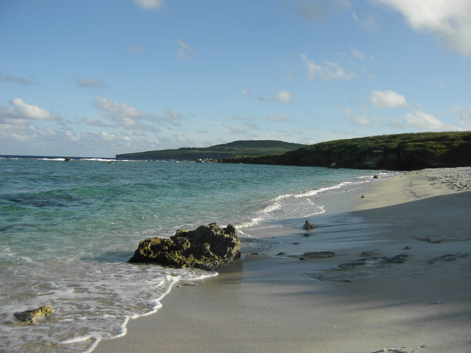
日本語: ウナイ・ダンクロ。テニアン島の東側の海岸。
Nederlands: Het strand Unai Dankulo aan de oostzijde van het eiland Tinian. English: Unai Dankulo beach on the east side of Tinian Island |
| Date | |
| Source | 11_0201 |
| Author | kajikawa yosiaki |
| Camera location | | View this and other nearby images on: OpenStreetMap |
|---|
Licensing
This file is licensed under the Creative Commons Attribution 2.1 Japan license.
Attribution: kajikawa yosiaki
- You are free:
- to share – to copy, distribute and transmit the work
- to remix – to adapt the work
- Under the following conditions:
- attribution – You must give appropriate credit, provide a link to the license, and indicate if changes were made. You may do so in any reasonable manner, but not in any way that suggests the licensor endorses you or your use.

This file, which was originally posted to
photozou.jp, was reviewed on 9 February 2013 by reviewer Morning Sunshine, who confirmed that it was available there under the stated license on that date.
|
File history
Click on a date/time to view the file as it appeared at that time.
| Date/Time | Thumbnail | Dimensions | User | Comment | |
|---|---|---|---|---|---|
| current | 19:12, 9 January 2013 | | 1,600 × 1,200 (594 KB) | トトト | == {{int:filedesc}} == {{Information |Description={{ja|1=ウナイ・ダンクロ。テニアン島の東側の海岸。}} {{nl|1=Het strand '''''Unai Dankulo''''' aan de oostzijde van het eiland Tinian.}}{{Tak... |
File usage
The following page uses this file:
Global file usage
The following other wikis use this file: