human settlement

Jhalawar is in the Kota Division of Rajahstan. It used to be the capital of the eponymous princely state.
Understand
editGet in
editGet around
editSee
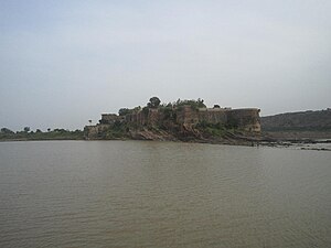
edit- 1 Gagron Fort (गागरोन का किला). Located just outside the city, this is one of six hill forts in Rajasthan that have been inscribed on the UNESCO World Heritage List.
- 2 Shantinath Jain Temple (In Jhalrapatan, six km south). 11th century temple
- The Government museum. Displaying paintings, statues and manuscripts.
- Kolvi Buddhist caves (Kolvi village). An ancient religious complex consisting of around 50 caves.
- 3 Sun Temple (Bada Mandir), Jhalprapatan (near Badli Chabutra). An intact 11th century temple intricately made from red stone consisting of over a hundred pillars and several beautifully carved sculptures. Its architectural style is reminiscent of the temples at Khajuraho and the more notable sun temple in Konark.

