User:Pbsouthwood/Gallery of aerial photographs from CDS&M
Gallery of aerial photographs from CDS&M on Wikivoyage Shared
editImage credit template
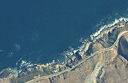
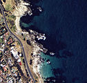
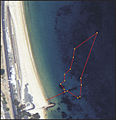
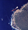
edit{{Imagecredit|credit=Chief Directorate of Surveys and Mapping |captureDate=2001 |location=, Cape Peninsula, Cape Town |source= |caption=Aerial view of the dive site at |description=}} Data of the Chief Directorate of Surveys and Mapping appears on website http//w3sli.wcape.gov.za Reproduced under Government Printer’s Copyright Authority No.11458 dated 1 September 2009
Aerial photos from DGS&M
edit- Ankers and Balcony (Rooi-els)
- Antipolis and Klein Pannekoek (Oudekraal)
- Bakoven Rock (Camps Bay)
- Bato and Brunswick wrecks (Simon's Town)
- Blousteen (Rooi-els)
- Bordjiesrif (Cape Point)
- Castle Rocks (Simon's Town)
- Clifton Rocks (Clifton)
- Clan Stuart wreck (Simon's Town)
- Coral Gardens (Rooi-els)
- Cow and Calf and Vogelsteen (Gordon's Bay)
- Dale Brook (St James)
- Froggy Pond and Fisherman's Beach (Simon's Town)
- Granger Bay (Table Bay)
- Kalk Bay harbour (Kalk Bay)
- Klein Pannekoek (Oudekraal)
- Ledges (Gordon's Bay)
- Long Beach (Simon's Town)
- Lorry Bay (Gordon's Bay)
- Miller's Point (Simon's Town)
- Noah's Ark (Simon's Town)
- Boss 400 wreck (Duiker Point)
- Justin's Caves and Geldkis (Oudekraal)
- Partridge Point (Simon's Town)
- Phoenix shoal (Simon's Town)
- Pinnacle (Gordon's Bay)
- Quarry (Glencairn)
- Spaniard Rock (Simon's Town)
- Rocky Bay (Simon's Town)
- Boulders Beach (Simon's Town)
- Shark Alley (Simon's Town)
- Spaniard Rock (Simon's Town)
- Sunny Cove (Fish Hoek)
- Tony's Reef (Gordon's Bay)
- Troglodyte's Cove (Gordon's Bay)
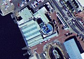
- Two Oceans Aquarium (Waterfront)
- Windmill Beach (Simon's Town)
- Percy's Hole and Kruis (Rooi-els)
- Rooi-els Point (Rooi-els)
- Whirlpool (Rooi-els)
- Penguin point and Photographers' Reef (Simon's Town)
- Coral gardens and Groot Pannekoek (Oudekraal)
- SAS Pietermaritzburg wreck site (Simon's Town)
- Two Oceans Aquarium buildings (Waterfront)
- Blue Rock Quarry (Gordon's Bay)
Image:Container Bay Aerial.jpg


