File:Pittsburgh eastend south map.png

Size of this preview: 800 × 494 pixels. Other resolutions: 320 × 197 pixels | 640 × 395 pixels | 1,024 × 632 pixels | 1,512 × 933 pixels.
Original file (1,512 × 933 pixels, file size: 858 KB, MIME type: image/png)
This is a file from the Wikimedia Commons and may be used by other projects. Information from its description page there is shown below.
Commons is a freely licensed media file repository. |

|
This file was moved to Wikimedia Commons from wts.oldwikivoyage using a bot script. All source information is still present. It requires review. Additionally, there may be errors in any or all of the information fields; information on this file should not be considered reliable and the file should not be used until it has been reviewed and any needed corrections have been made. Once the review has been completed, this template should be removed. For details about this file, see below. Check now! |
Summary
| Description |
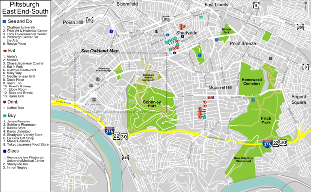
English: East End-South, Pittsburgh Map, Pittsburgh. |
| Date | |
| Source | :Image:Pittsburgh eastend south map.svg |
| Author | User PerryPlanet |
Licensing
This file is licensed under the Creative Commons Attribution-Share Alike 4.0 International, 3.0 Unported, 2.5 Generic, 2.0 Generic and 1.0 Generic license.
- You are free:
- to share – to copy, distribute and transmit the work
- to remix – to adapt the work
- Under the following conditions:
- attribution – You must give appropriate credit, provide a link to the license, and indicate if changes were made. You may do so in any reasonable manner, but not in any way that suggests the licensor endorses you or your use.
- share alike – If you remix, transform, or build upon the material, you must distribute your contributions under the same or compatible license as the original.
Original upload log
| This file was imported from Wikivoyage WTS. |
The original description page was here. All following user names refer to wts.wikivoyage-old.
- 2009-07-18 23:32 (WT-shared) PerryPlanet archive copy at the Wayback Machine 1512×933 (1030783 bytes) {{Imagecredit|credit=User PerryPlanet|captureDate=July 18, 2009|location=Pittsburgh|source=[[Image:Pittsburgh eastend south map.svg]]|captio (Import from wikitravel.org/shared)
- 2012-09-07 04:01 Shaund[dead link] 1512×933 (1009514 bytes) rmv logo
- 2012-09-15 14:31 Pbsouthwood[dead link] 1512×933 (878911 bytes) rm logo
File history
Click on a date/time to view the file as it appeared at that time.
| Date/Time | Thumbnail | Dimensions | User | Comment | |
|---|---|---|---|---|---|
| current | 16:33, 23 December 2012 | | 1,512 × 933 (858 KB) | OgreBot | (BOT): Reverting to most recent version before archival |
| 16:32, 23 December 2012 |  | 1,512 × 933 (986 KB) | OgreBot | (BOT): Uploading old version of file from wts.wikivoyage; originally uploaded on 2012-09-07 04:01:35 by Shaund | |
| 16:32, 23 December 2012 |  | 1,512 × 933 (1,007 KB) | OgreBot | (BOT): Uploading old version of file from wts.wikivoyage; originally uploaded on 2009-07-18 23:32:56 by (WT-shared) PerryPlanet | |
| 02:04, 18 November 2012 |  | 1,512 × 933 (858 KB) | MGA73bot2 | {{BotMoveToCommons|wts.oldwikivoyage|year={{subst:CURRENTYEAR}}|month={{subst:CURRENTMONTHNAME}}|day={{subst:CURRENTDAY}}}} == {{int:filedesc}} == {{Information |description=East End-South, Pittsburgh Map. , Pittsburgh * Map of: Pittsburgh¤ |date=July... |
File usage
The following page uses this file: